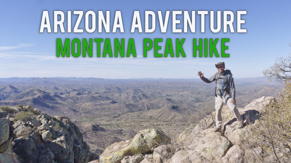
Montana Peak crests at 5260ft. There is no trail up making it a real adventure!
Montana Peak has been on my list of must hikes since hearing about it from my friends in the Border Patrol. A few of them have been up there and said it was absolutely spectacular. However, there’s no established trail.
Click to watch video of the trail
You will need jeans, long sleeve shirt, hiking boots (I have desert combat boots) and two liters of water. I also carry a satellite enabled emergency beacon. It’s essential as many places have no cellular coverage.
Expect two to three hours for anybody to respond to this area should you need help. I live by the adage, “Two is one and one is none”. It may save your life someday, especially in a remote location like this.
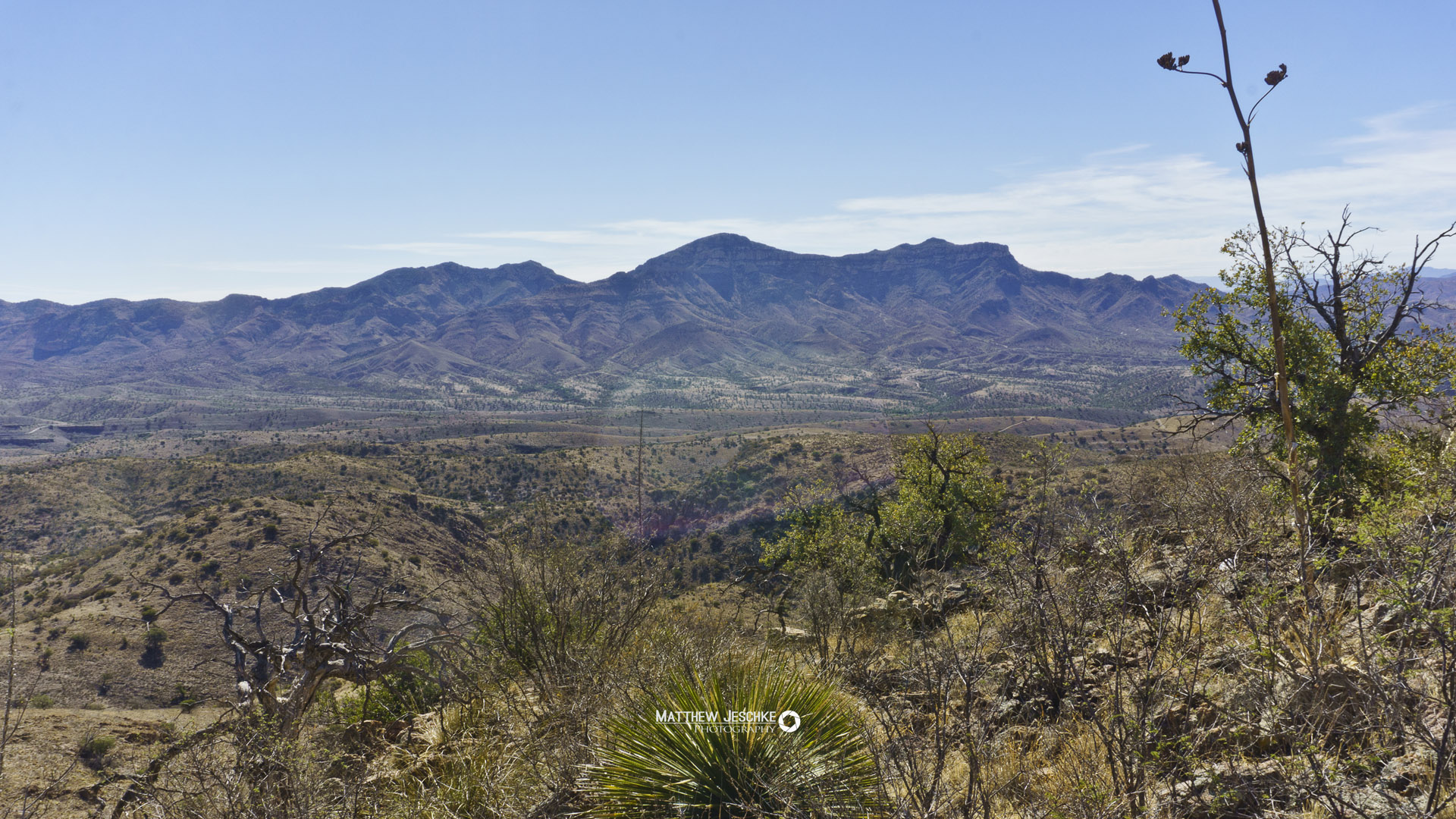
Click to enlarge image
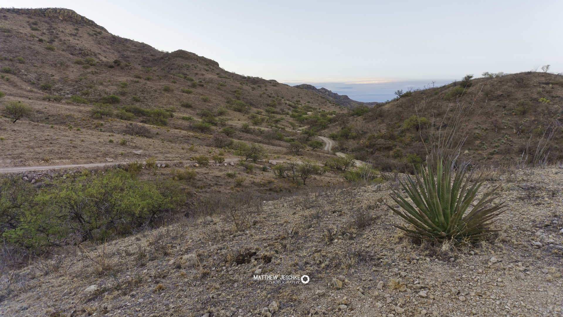
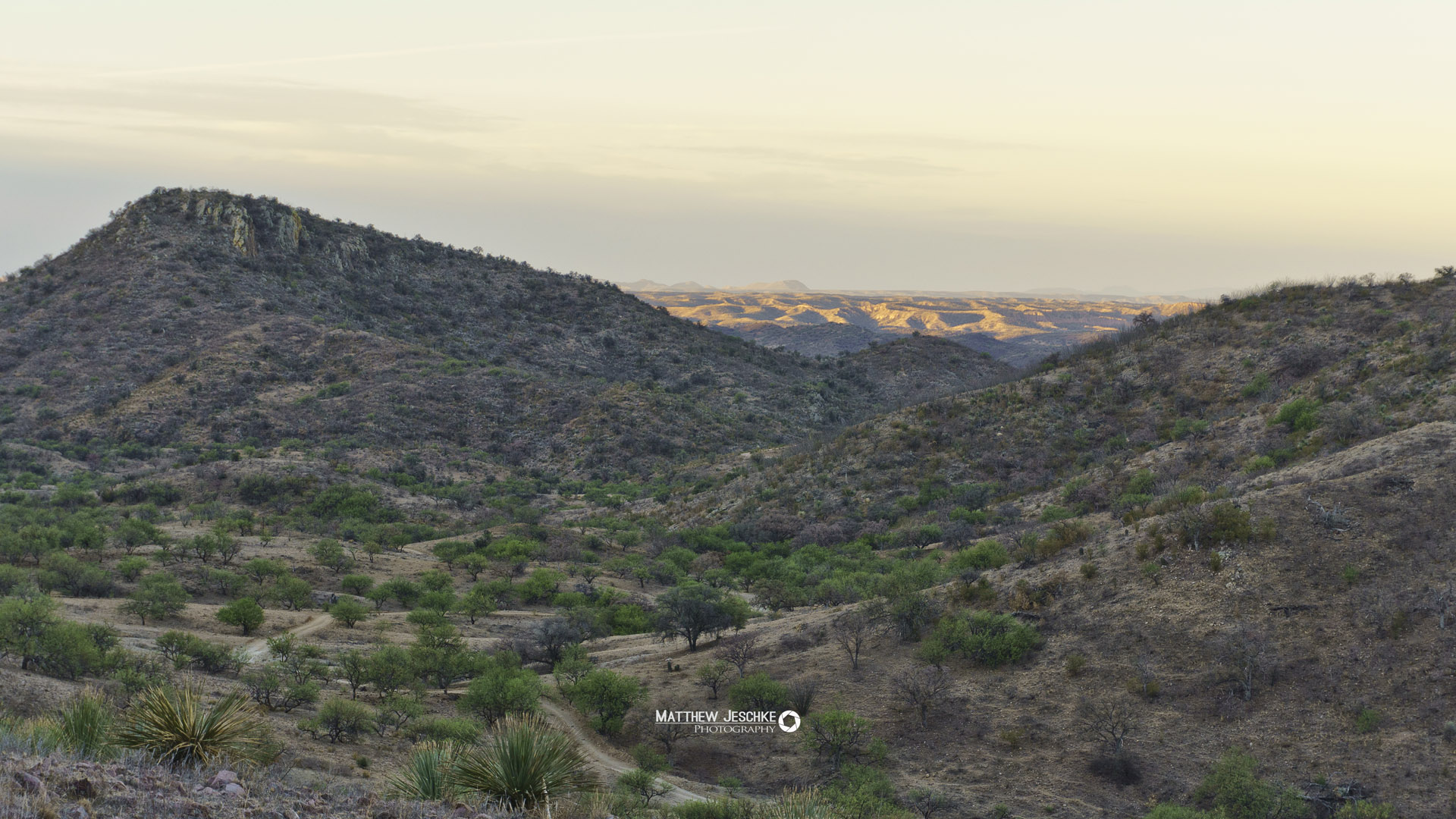
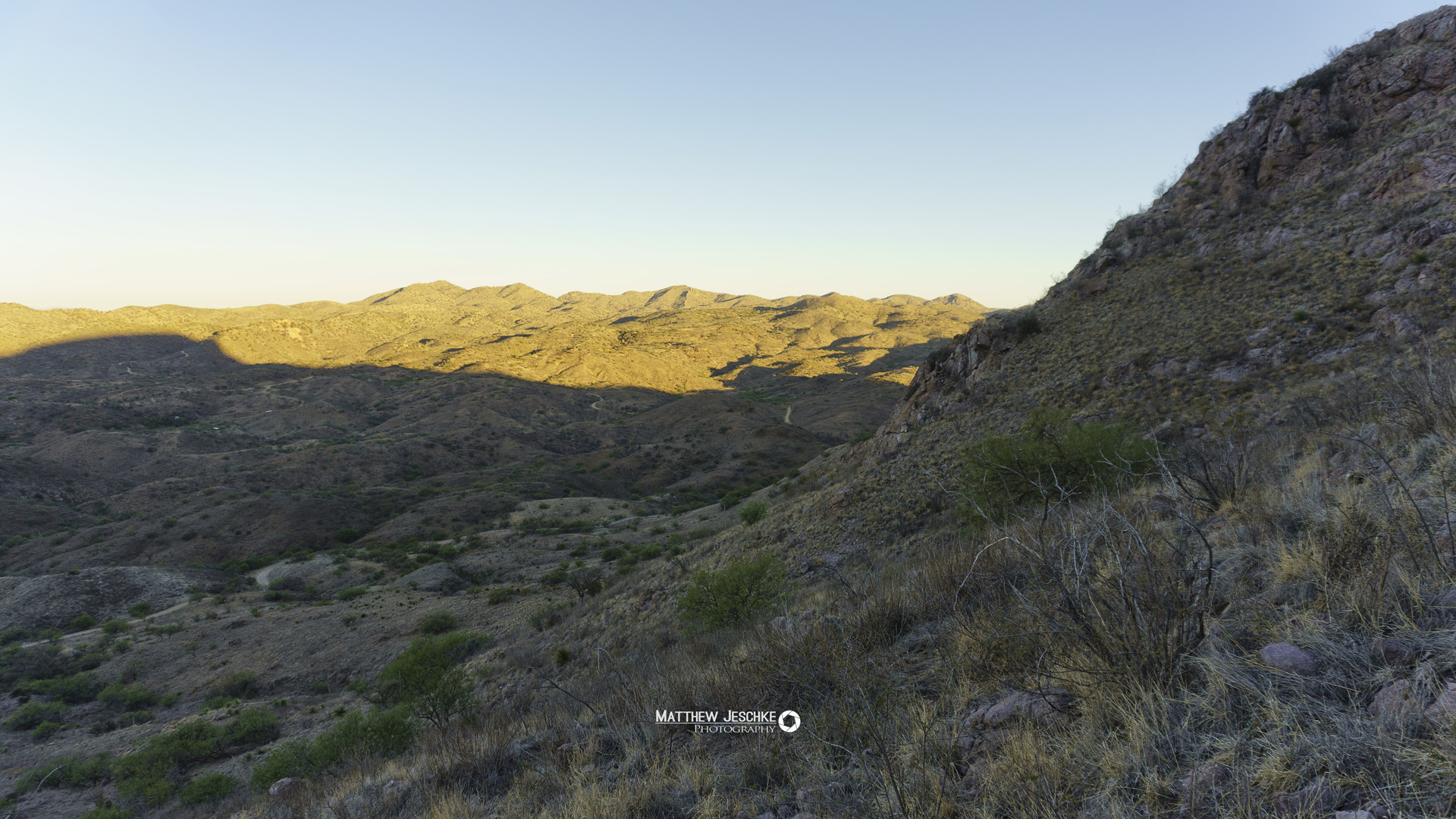
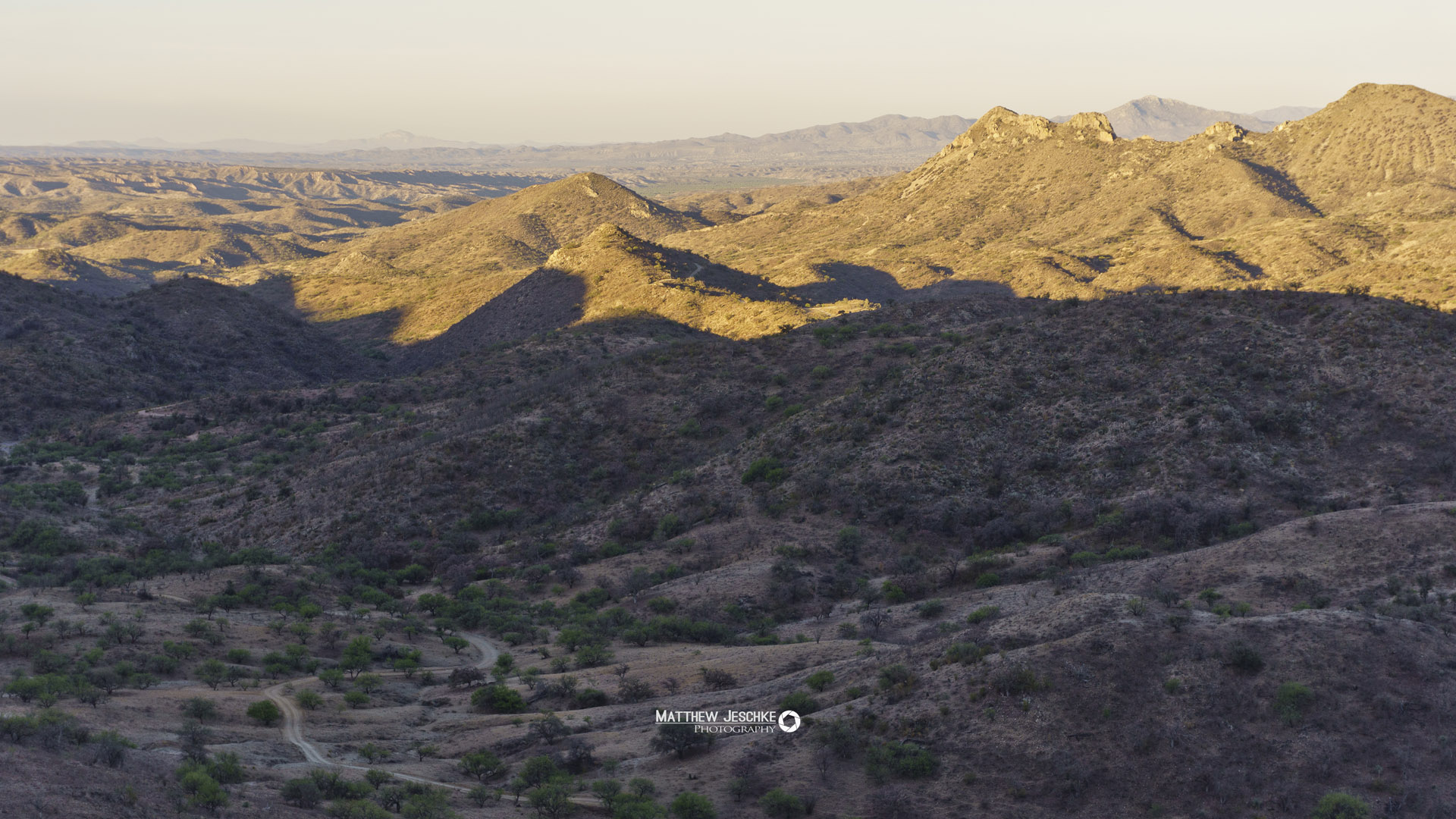
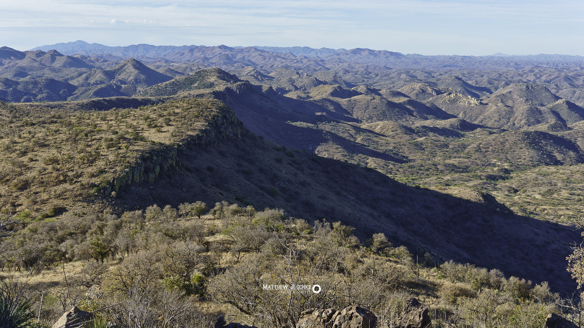
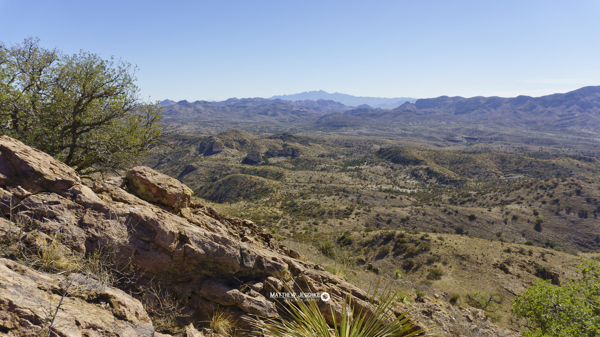
We chose to follow deer paths up the shoulder of the mountain till they ran out. Then scrambled up a rock pile to the top. Once on top I could see several routes that could be hiked as a simple walk up. I advise you ascend on the take the longer leg of our route. This is about half as steep.
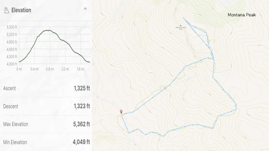
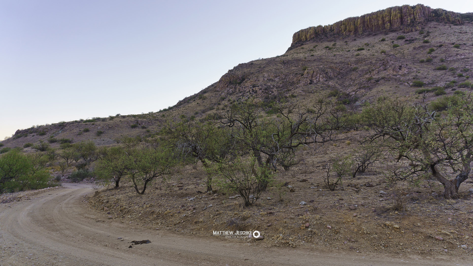
There is no trailhead for this mountain. We parked off Coronado National Forest Road #4175. You can get directions to where we parked HERE. Then we followed the route HERE.
You will need a truck to get back there. FR4175 branches off California Gulch better known as Mirjana Flats by local ranchers due to cartel smuggling in area.
I recommend having 4×4 as well. If there’s any rain you may encounter trouble making it up a slope in road at junction of California Gulch and FR4175.

Hope to see you on the trail
I love remote spaces on the distant horizon. There are seldom trails and lots of obstacles to overcome. I have an compact kit with contingencies for defense, medical, signaling, water purification, heat, and even cold exposure.
You may choose the road more traveled but either way, feel free to contact me with any questions. I’d love to share with you.