Articles by: matthew

Mount Wrightson Hike

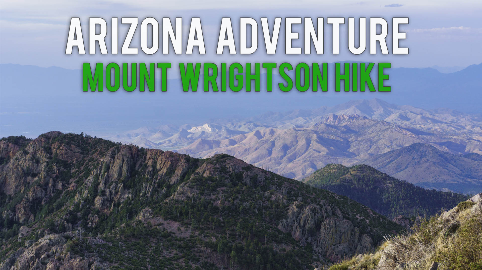
This hike takes you up into the clouds. It’s a 10 mile round trip hike from 5,456ft to 9,282ft providing a clear view above the Arizona Skyline. Mount Wrightson is a well traveled trail. It’s minutes from big city, but provides coverage in high alpine environment. You can hike this […]

Read More

Property Research Links

Fire districts City of Tucson Flood Plain Maps Federal / FEMA City of Tucson or GIS Map Pima County Sahuarita Special Assessments Pima County (improvement districts) City of Tucson (improvement districts) Sahuarita – Uses Pima County GIS Systems Tucson Pima County Miscellaneous AZDEQ eMaps: Superfund ADRE Airport Maps: ADRE MapsADRE […]

Read More

Short hike, great views, Atascosa Lookout

This hike is a hike with phenomenal views that anybody can complete. It’s 2.3 mile 1,645 ft climb and breathtaking view. Atascosa peak has been on my list of must hikes. We originally thought this trail lead to the peak but were incorrect, it leads to a lookout. Click to […]

Read More

Rancho Abrego / La Joya Verde

A 15 minute drive South of Tucson off Duval Mine Exit. Three shopping centers are located adjacent this community. Notice: JavaScript is required for this content.

Read More